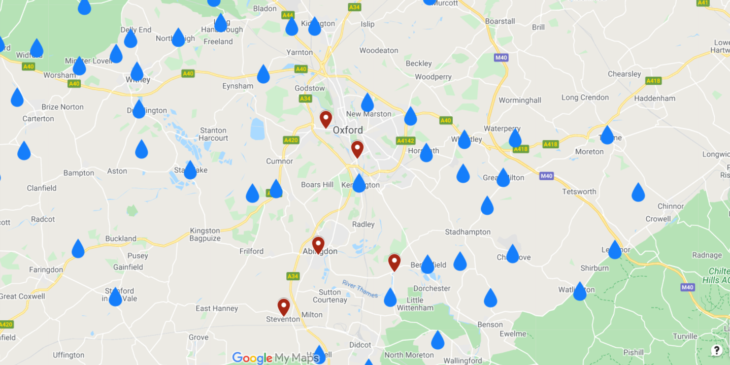
CPRE Oxfordshire Flooding and Pollution Map
11th November 2021 / / Comments Off on CPRE Oxfordshire Flooding and Pollution Map

11th November 2021
Is your neighbourhood on the map?
CPRE Flooding and Pollution Map (Nov 2021)
Thanks to the Town and Parish councils who responded to our Flooding and Pollution survey we have a good picture of the flooding and pollution issues across Oxfordshire.
However, there may be areas that have been missed. If your village or town encounters flooding and/or sewage pollution and does not appear on the map let CPRE Oxfordshire know.
Your concerns will be plotted on the interactive map enabling us to get a complete picture of the issues throughout Oxfordshire. View the map below.
Email campaign@cpreoxon.org.uk letting us know where you live, and the water related issues your neighbourhood faces.
